The Energy & Geoscience Institute announces Dr. Kristie McLin as Director of Research and Science and new Principal Investigator of the Utah FORGE project, succeeding Dr. Joseph Moore.


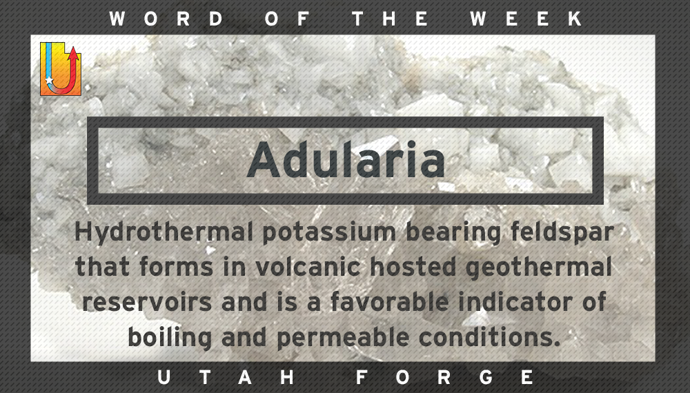
Adularia Hydrothermal potassium bearing feldspar that forms in volcanic hosted geothermal reservoirs and is a favorable indicator of boiling and permeable conditions.

Aquifer Porous and permeable rock unit or unconsolidated layer in the subsurface in which all the pores and voids are filled with water. Water supply for wells comes from aquifers.
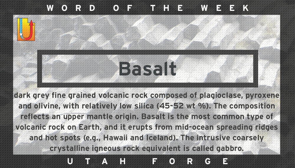
Basalt Dark grey fine grained volcanic rock composed of plagioclase, pyroxene and olivine, with relatively low silica (45-52 wt %). The composition reflects an upper mantle origin. Basalt...